
|
|
Mountain/Rock |
|---|---|
|
|
37.95446°N / 107.70242°W |
|
|
13206 ft / 4025 m |
|
|
Overview
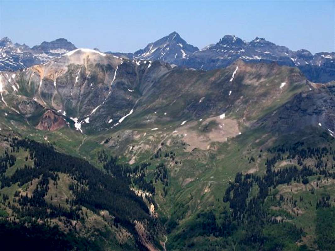
Hayden Mountain rising in front of the Pyramid of Mt. Sneffels
In the very short 11 miles that separate the town of Ouray (elevation 7700 ft) from the11018 ft Red Mountain Pass, Route 550 makes one "S"-curve after another. The only break that the weary driver gets comes in the Ironton Park area, a 2 mile long by 0.3 mile wide straight and gently sloped valley that sits at an elevation of 9600 to 9800 ft. Hayden Mountain forms the western wall of this valley. It consists of a series of peaks, sub-peaks and ridgelines that for the sake of simplicity have been lumped together under a single name.
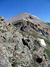
 Northern summit
The USGS map identifies seven high points along Hayden's main ridgeline. North to south these include:
Point 12578 ft
Point 12687 ft
Point 12864 ft
Point 13139 ft
Point 13023 ft
Point 13009 ft &
Point 13206 ft (the official summit of Hayden Mountain)
A 12657 ft saddle known as Richmond Pass, separates the summit of Hayden Mountain from unnamed Peak 13315 ft to the south. Richmond Pass Trail provides access from Ironton Park (to the east) to Imogene Pass Rd (& Camp Bird Rd to the west). Camp Bird Road is often used by those who wish to climb the 14150 ft Mt. Sneffels.
Richmond Pass Trail starts on Route 550 at an elevation of 9850 ft. For the first 1000 vertical feet, the trail goes through a dense forest of Aspen Trees. Groves of Pine Trees and beautiful meadows, cover the higher slopes below Richmond Pass. The Red Mountains (to the east of Ironton Park) provide dramatic backgrounds for the colorful flowers on these meadows.
From Richmond Pass, minimal scrambling is required to reach the summit of Hayden Mountain which is a large rocky area that provides excellent views of Mt. Sneffels and the other jagged peaks that surround Yankee Boy Basin. Only a small portion of Route 550 in Ironton Park can be seen directly below. Some of the lower summits of Hayden Mountain appear much more rugged and will probably present more of a challenge to those who wish to climb them.
Summit registry indicates that Hayden Mountain is climbed only a few times a year. I am not aware of any connections between the name of this mountain and Ferdinand V. Hayden who headed a group of surveyors that produced the first detailed maps of the San Juan Mountains in the 1870s.
 |  |  |  |  |
Getting There
The sign for Richmond Pass Trail can be seen from Route 550, although it is small and somewhat hidden among the Aspen Trees.From Ouray, drive south into Ironton Park, go to the south end of it and look for the Richmond Pass Trail sign on the west side of the road. If you reach mile marker 84 or the sign that says "Elevation 10000 ft", you have gone too far (The "Elevation 10000 ft" sign was there in 2003. In 2013, it was not there anymore).
To the south of the sign, you will find a very inconspicuous-looking two-track going 100 ft or so into the Aspen Forest. This will serve as your parking area.
 |  |  |  |  |
Red Tape
No fees or permits for day hikes.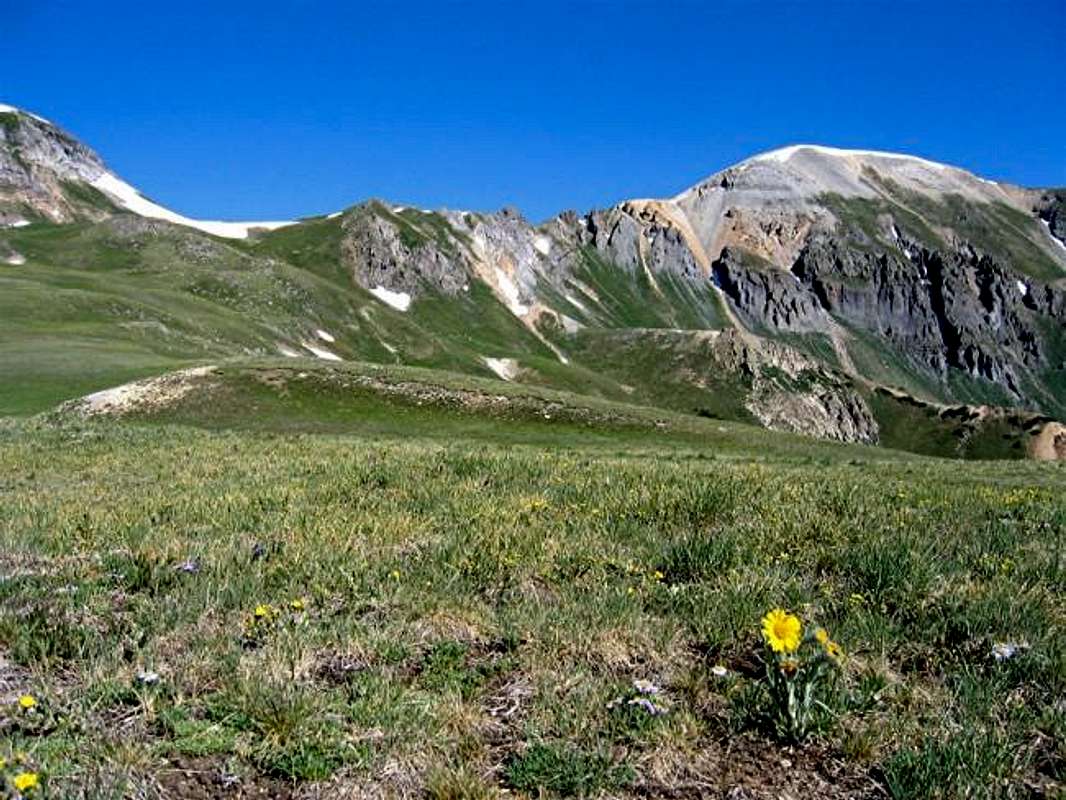
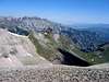
The summit of Hayden Mountain from the "plateau" below Richmond Pass, early summer 2003
When To Climb
Easiest in summer. | 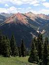 | 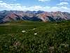 |
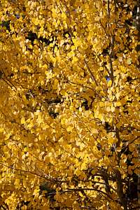
Aspen Trees in Autumn
 |  |  |  |
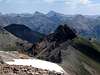
Views of the Red Mountains

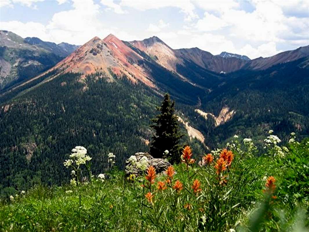
The view of Red Mountain #1 from the Richmond Pass Trail, (L) June 3, 2004, (R) July 7, 2003
Miscellaneous Info
Click for the forecast for the town of Silverton, CO. |  |  |  |