|
|
Mountain/Rock |
|---|---|
|
|
39.05810°N / 107.2823°W |
|
|
Mountaineering |
|
|
Spring, Summer |
|
|
12721 ft / 3877 m |
|
|
Page is best viewed at monitor resolution of 1024x768
Raggeds Wilderness Overview
per Jon Bradford
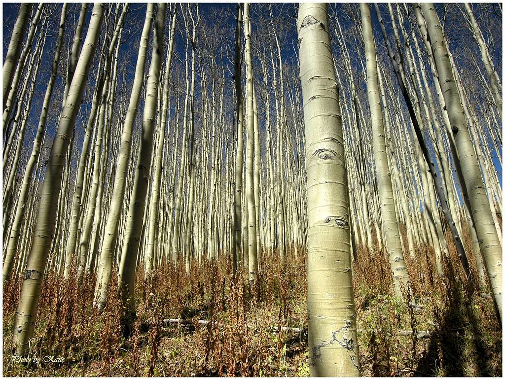
The Raggeds Wilderness is a unique and exciting country resplendent with rugged peaks, gothic cliffs, and colors that strain perceptions. This is the land where purple, maroon, grey, and shinning white rocks rise above alpine carpets of lush iridescent green and vast tracts of gigantic aspen. Reminiscent of the landscape of the nearby Maroon Bells-Snowmass wilderness, the Raggeds Wilderness offers a less crowded alternative. In spite of the similarities, the Raggeds are distinctive. Three geologically different sub-ranges of the mighty Elk Range compose the Raggeds Wilderness; and this topographic variety gives the region a distinctive flair.
The Raggeds Wilderness was designated in 1980 and contains 65,019 protected acres. It is located 11 miles west of the town of Crested Butte. It is bounded on the east by Schofield Pass, on the south by Kebler Pass, on the west by Colorado Highway 133, and on the north by the Crystal River. Within these confines the Ragged Range occupies the northwestern part of the wilderness with soaring and appropriately ragged ridges of Tertiary intrusive’s. The highpoint of the Raggeds is Chair Mountain (12,721-ft). The eastern portion of the wilderness is occupied by the twin massifs of Treasury Mountain (13,462-ft) and Treasure Mountain (13,528-ft).

Chair Mountain Overview

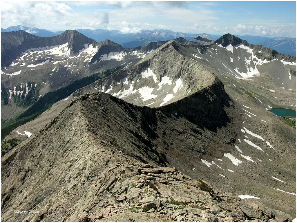
Anchoring the northern aspects of the great Raggeds Wilderness and Raggeds Massif, Chair Mountain (12,721-ft) overlooks some of Colorado’s most picturesque mountain terrain. Undoubtedly, Chair Mountain is the McClure Pass showpiece and everything else is just details. Within Colorado’s Raggeds Wilderness, it’s the details that compose the Wilderness, and the land encompassing Chair Mountain is typical Raggeds blueprint, showing loads of detail…meaning; there’s a lot to look at here. Common sights include 5,000-ft of steep mountainous relief, crystal clear rivers negotiating box canyons, and miles of beautifully treed landscape punctuated with high skinny ridges of fractured rock sweeping from point to point. It’s this kind of lofty, eye popping scenery that makes Colorado’s Raggeds Wilderness so special.
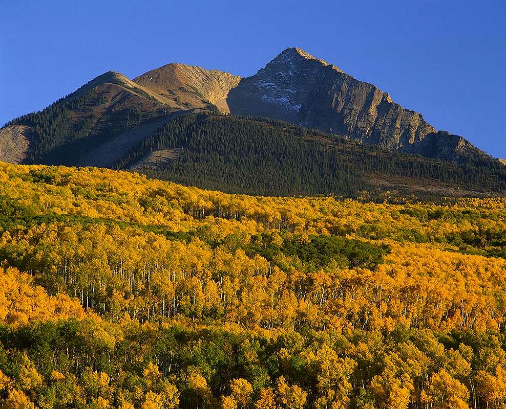
This well named mountain resides just a few miles south of McClure Pass (8,755-ft,) one of Colorado’s most scenic byways. Thick aspen forests carpet the higher western and eastern ramparts of the pass, while the lower hillsides are dotted with beautiful brush oak. In late September, both combine to create the perfect mix of outrageous yellows and oranges. With mid morning light or low evening light, the colors will saturate and provide a fairytale setting you won’t forget.

Longing for Chair Mountain
On a personal note, I rank Chair Mountain as one of the most beautiful mountains in all of Colorado. Over a decade, I gradually developed a spiritual and purposeful relationship with the mountain. On a number of occasions, I remember driving to a favorite pull-off on Hwy133 just to watch the sun rise on the northeast face of Chair. In fall, I would plan climbs so I can drive the McClure Pass en route to destinations like Kebler Pass, Paonia, Crawford, and other small towns that line the beautiful West Elks. If you get a chance to climb Chair Mountain, don’t pass it up. You will not be disappointed, the climbing is exciting and the summit view is heavenly elegant.
For me, the quest for the Chair included a painful amount planning and researching. A malicious cocktail of strict private property and ridiculously rugged terrain can make the approach to Chair Mountain a logistical nightmare. Access is limited to those who seek the property owners that own land encompassing the Chair massif. For this reason, Chair’s summit doesn’t host many visitors. Word has it that one must be granted permission from the Genter Mine or Prospect Ranch to cross their land and climb the mountain. From what I understand, attaining permission is not easy, especially for soloists. Usually a few groups (CMC or Outward Bound) of climbers yearly receive the golden ticket. Also, approaching Chair Mountain from the west may not be a great idea, due to a long and brutally unforgiving bushwhack up into Buck Creek Basin. A descent into Buck Creek would be a better option than an ascent.
We climbed Chair Mountain from McClure Pass. It certainly pays off having family that’s lived in Carbondale for the last 15 years. Last year my brother introduced me to a kayaker friend who happens to own a cabin up on McClure Pass. He was gracious enough to allow me access, plus he sketched out a detailed map, showing the approach via a collection of meandering dirt roads. In respect of the land owner, I will not be submitting an approach to Chair Mountain via McClure Pass. However, the above information should be enough to guide one in the correct direction to attain that permission. Warning, I wouldn’t attempt to climb Chair mountain from McClure Pass without permission from the land owners. I counted 2 gated outposts laced with warning signs with one huge sign specifically mentioning “Access to Chair Mountain strictly prohibited.” Beyond those outposts were another 3 or 4 warning signs. It was “warning” overkill.

Getting There
From Carbondale, drive 20 miles south on hwy133 and look for the signed Marble turnoff. Turn left and pass the Bogan Flat Campground at 21.5 miles and continue another mile to the Genter Mine. Prospect Ranch is another quarter mile past the mine on the right.From the summit of McClure Pass, turn south onto FR 898 and go south for 2.8 miles to a locked gate. There are excellent primitive camping possibilities here
Red Tape
Wilderness regulations apply. The northern section of the wilderness is administered by the White River Ranger District. Contact information is as follows:White River National Forest
Old Federal Building, Box 948
Glenwood Springs, CO 81602
303-945-2521
The southern section of the wilderness is administered by the Gunnison Ranger District. Contact information is as follows:
Gunnison Ranger District
216N. Colorado
Gunnison, CO 81230
970-641-0471
Please leave no trace in this special place. Pack out everything you bring in. Keep dogs on leashes. Minimize impact as much as possible.
http://www.crh.noaa.gov/forecasts/COZ012.php?warncounty=COC051&city=Crested+Butte


RyanS - Jul 3, 2012 4:57 pm - Hasn't voted
Another way up ChairThought this link could be worth adding, Kane: http://www.14ers.com/php14ers/tripreport.php?trip=9244