-
 3274 Hits
-
 78.27% Score
-
 9 Votes
|
|
Mountain/Rock |
|---|---|
|
|
37.86023°N / 107.34683°W |
|
|
Hinsdale |
|
|
Hiking, Mountaineering |
|
|
Spring, Summer, Fall, Winter |
|
|
13334 ft / 4064 m |
|
|
Overview
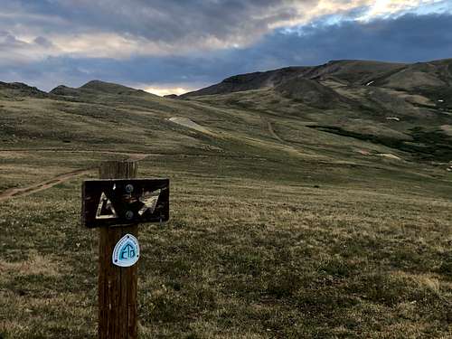
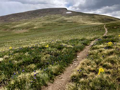
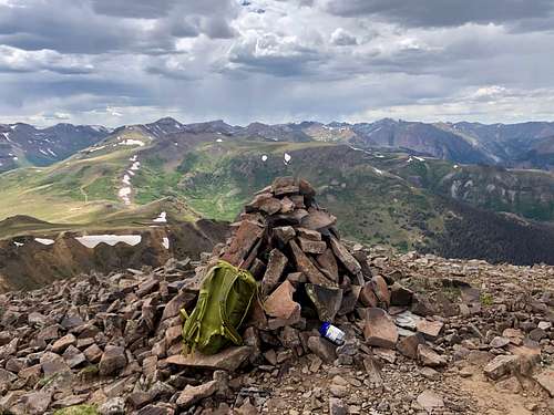
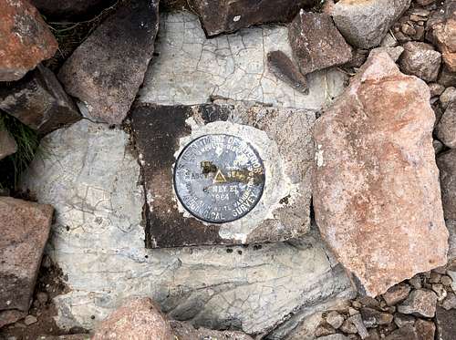
Coney Benchmark is an easy outting for peak baggers. The hike can be much shortened than my GPS (see below) if you drive up the Wager Gulch to the Carson saddle and continue on 4 WD road right below the peak. It is kids and dog friendly. The hike is on a nice trail - scenic Colorado Trail and also Continental Divide Trail, and then the final section on grassy slopes. The Continental Divide is a mountainous hydrological divide of the watersheds that drain into the Pacific Ocean and those that drain into the Atlantic Ocean.
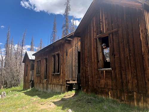
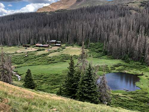
The area along Wager Gulch is beautiful to explore. There is a well preserved ghost town of Carson and many 13ers waiting for you to summit. The only disadvantage is that the road up Wager Gulch is rocky and rough - you do need a high clearance 4WD vehicle and the road is closed in the winter (after the first snow fall and does not open until the snow melt, around June).
Coney Benchmark is usually combined with Unnamed 13260B peak located also along Continental Divide.
We are so lucky to have so many mountains in Colorado. There are 53 official 14ers (mountains over 14,000 feet = 4267 meters) and 584 official 13ers (mountains over 13,000 feet = 3962 meters) + many unranked peaks, and I am not even mentioning 12ers.
Colorado Rank: 366
Parent Lineage: Bent Peak
Rio Grande National Forest
Class: 1
Nearby Peaks:
- Unnamed 13260 B 1.19 miles
- Bent Peak 1.84 miles
- Unnamed 13140 2.06 miles
- Carson Peak 3.01 miles
- Unnamed 13581 3.11 miles
- Unnamed 13580 B 4.17 miles
- "Tundra Top" 4.22 miles
- "Cataract Peak" 4.24 miles
Getting There
Wager Gulch/Carson Pass: from the town of Lake City, drive south on highway 149 and then turn right onto County Road 30 to Lake San Cristobal, part of the scenic alpine loop drive (very popular in the summer). The road is paved past the lake then turns to graded dirt, passable for all passenger cars. About 2 miles past the Williams Creek campground, watch for a road turning off to the left (south) for the old townsite Carson. It is well signed as "Wager Gulch" road. From this point you need a high clearance 4 WD vehicle. Head up the road through aspen and conifer forest. The road climbs steeply, higher up you will encounter a few primitive camping spots. The road was not very difficult, and I would almost say that the roughest section were lower down. I chose to stop at the old townsite of Carson since per other reports the road higher up was supposedly in a bad condition. However, as of October 2016, the road was good to go all the way to the Carson Pass. Carson Pass is not signed, but it is an obvious highest point of the road. There is plenty of parking. If you choose to park at the ghost town of Carson as I did, it will add about one mile to your hike, and some elevation gain. The Wager Gulch Road is about 5 miles long and the driving is slow.
Route
Red Tape
There is no red tape. Driving the 4WD road, visiting the Carson ghost town, primitive camping, hiking are all free of charge.
When to Climb
Summer is obviously the easiest, but autumn and spring are excellent as well. Winter would add a longer access, and some avalanche exposure. (The road up Wager Gulch is a little bit over 5 miles long and is closed in the winter).
Camping
Primitive camping along Wager Gulch road - higher up. The lower part of the road goes through some private property and the road is too narrow and steep to stop and find a parking spot.
Forest Service Campgrounds: Lake Cristobal: Wupperman campground, on the east side of Lake San Cristobal, 15$ per night, vault toilets, grills, picnic tables. Reservations possible. Williams Creek: no reservations. First Come, First Serve basis. 14$ per night. There is drinkable water. 23 campsites. Mill Creek Campground: 7$ per night, BLM campground, 22 sites. I don't stay in campgrounds since there are so many options for primitive camping in a high country.


