
-
 4546 Hits
-
 85.76% Score
-
 21 Votes
|
|
Mountain/Rock |
|---|---|
|
|
39.73020°N / 106.2645°W |
|
|
Summit |
|
|
Hiking, Mountaineering, Trad Climbing, Scrambling |
|
|
Spring, Summer, Fall, Winter |
|
|
12660 ft / 3859 m |
|
|
Overview
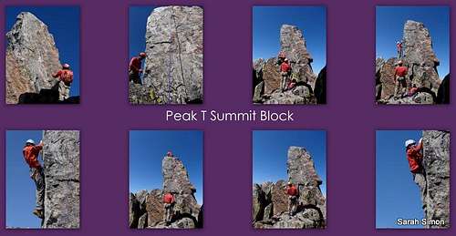
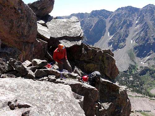
John Marrone and RockyMountainDiva work the "Peak T" summit block
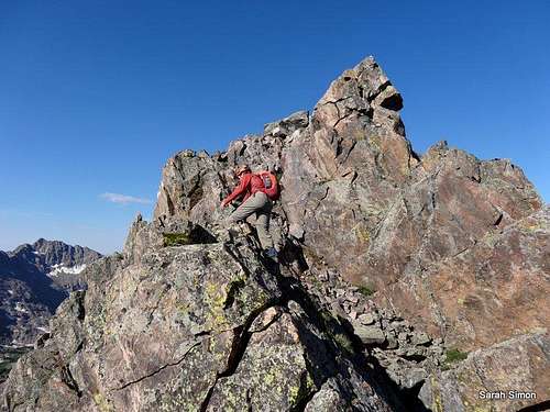
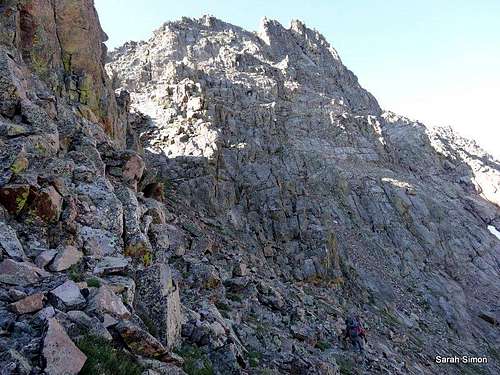
Toward the summit block
A striking and memorable peak, “Peak T” is well worth the visit!
Rank: Unranked
Prominence: 80 feet
YDS Rating: 5.5
USGS Quad: Vail East
Planning Maps: Trails Illustrated #108 Vail, Frisco, Dillon (primary) and #107 Green Mtn Reservoir / Ute Pass (secondary)
Rank and Prominence: Lists of John
Getting There
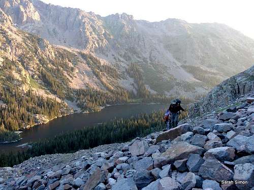
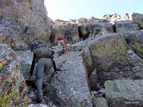
The scree and talus approach from Upper Slate Lake
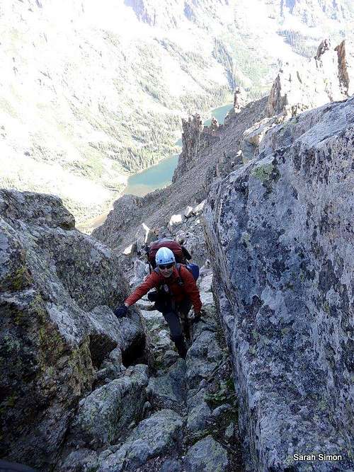
"Peak T" boulder hop
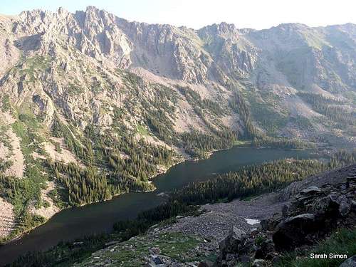
Upper Slate Lake below
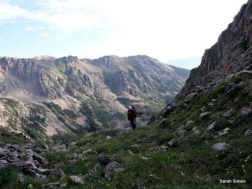
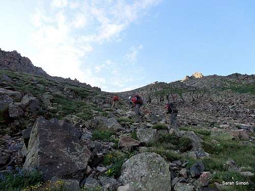
Upper grassy slopes
Nearing the ridgecrest
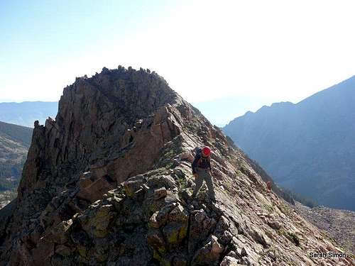
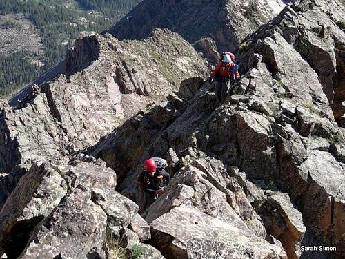
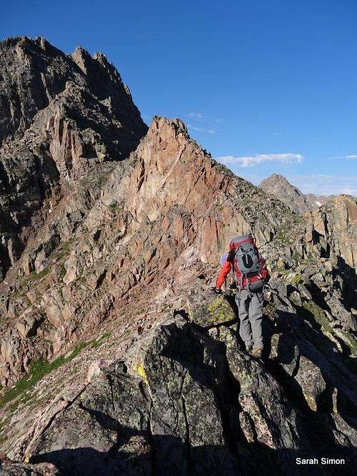
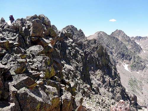
Along the ridge toward "Peak T"
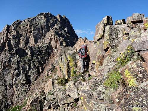
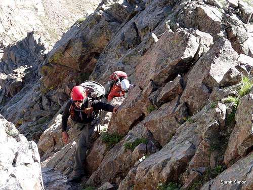
Scrambling toward "Peak T"
Houses of the Holy
Driving directions courtesy of the US Forest Service.
Rock Creek Trailhead (@9500 feet)
From I-70 take Exit 205, Silverthorne/Dillon, and travel north on HWY 9 for approximately 7.7 miles. Turn left onto Rock Creek Road (FDR 1350) across from the Blue River Campground. Follow the gravel road for approximately 1.2 miles and turn left at the road marked “Rock Creek”. The winter trailhead parking lot is immediately on your left. For summer access, you can continue up the 4WD road for approximately 1.7 miles to the Rock Creek Trailhead and parking lot.
Brush Creek Trailhead (@9000 feet)
From I-70 take Exit 205, Silverthorne/Dillon, and travel north on HWY 9. Travel north on HWY 9 for approximately 16.8 miles. Just after mile marker 118 turn left onto County Road 30 toward the town of Heeney. Follow County Road 30 for approximately 0.5 miles and turn right into the parking area at the old Grandview Cemetery on the right side of the road. Park here if you do not have high clearance 4WD. Across from the Grandview Cemetery Parking is the Brush Creek Road (FDR 1695) where motorized (4WD) access is allowed during the summer if you want to drive to the Brush Creek Trailhead. From the Cemetery parking lot up Brush Creek Road to the trailhead is 2.3 miles.
Boulder Trailhead
See important details regarding driving directions and private property concerns on kane’s “Peak Q” / “Prisoner Peak” page here on SummitPost.
Route
Getting close!
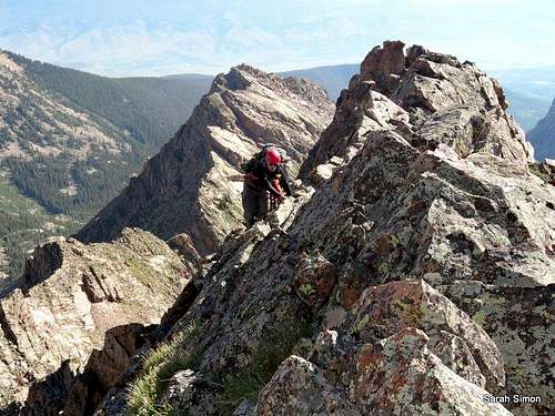
Gore ridgeline heaven
Red Tape
Ridgeline Cruise
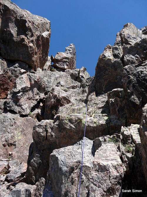
Finding a weakness
Please practice Leave No Trace principals:
1. Plan Ahead and Prepare
2. Travel and Camp on Durable Surfaces
3. Dispose of Waste Properly
4. Leave What You Find
5. Minimize Campfire Impacts
6. Respect Wildlife
When to Climb
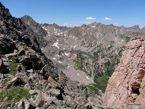
Gore Range views
| Long approaches would make a winter or spring ascent of “Peak S” a worthy testpiece. Summer and fall would provideeasiest passage, though the mosquitoes in the Slate Creek / Lake Basin can benearly intolerable in moist conditions. |  Click the National Weather Service image for a zone forecast at an elevation of 12398 ft |
Camping
Descending the south side of "Peak T"
Descent
Leaving "Peak T"
External Links
Southwest from "Peak T"

"Peak T" from the southwest